


Winstanley Geographical cards
Facsimile of Winstanley’s Geographical cards produced by Harold & Virginia Wayland, 1967.
Published originally in c. 1676 by Henry Winstanley (1644-1703), the painter and engineer who developed an interest in engraving, this is a miniature seventeenth century pocket atlas presented as a pack of playing cards, with notes on the state of geographical exploration of the period. As well as displaying the usual suits, the cards depict various foreign nationalities in their customary dress and views of the capital cities of each. See more►
The pack presents views of four continents: Europe (hearts); Africa (spades); Asia (diamonds) and America (clubs), with each card detailing major cities (including Jerusalem, London, Boston, San Salvador, Quebec, Tangier, Moscow, Madrid, Mecca, Rome, Paris and Stockholm), together with geographical and historical information.
The facsimile was produced in a limited edition of 275 packs by Harold & Virginia Wayland from the unique copy held by the Worshipful Company of Makers of Playing Cards, together with the unique leaflet telling the origin of the material and the use of the cards. A book by Virginia Wayland entitled The Winstanley geographical cards was published simultaneously in 1967.
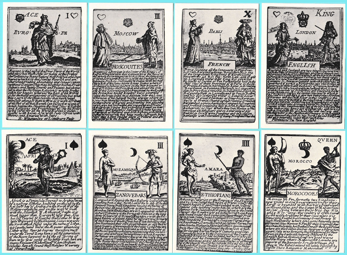
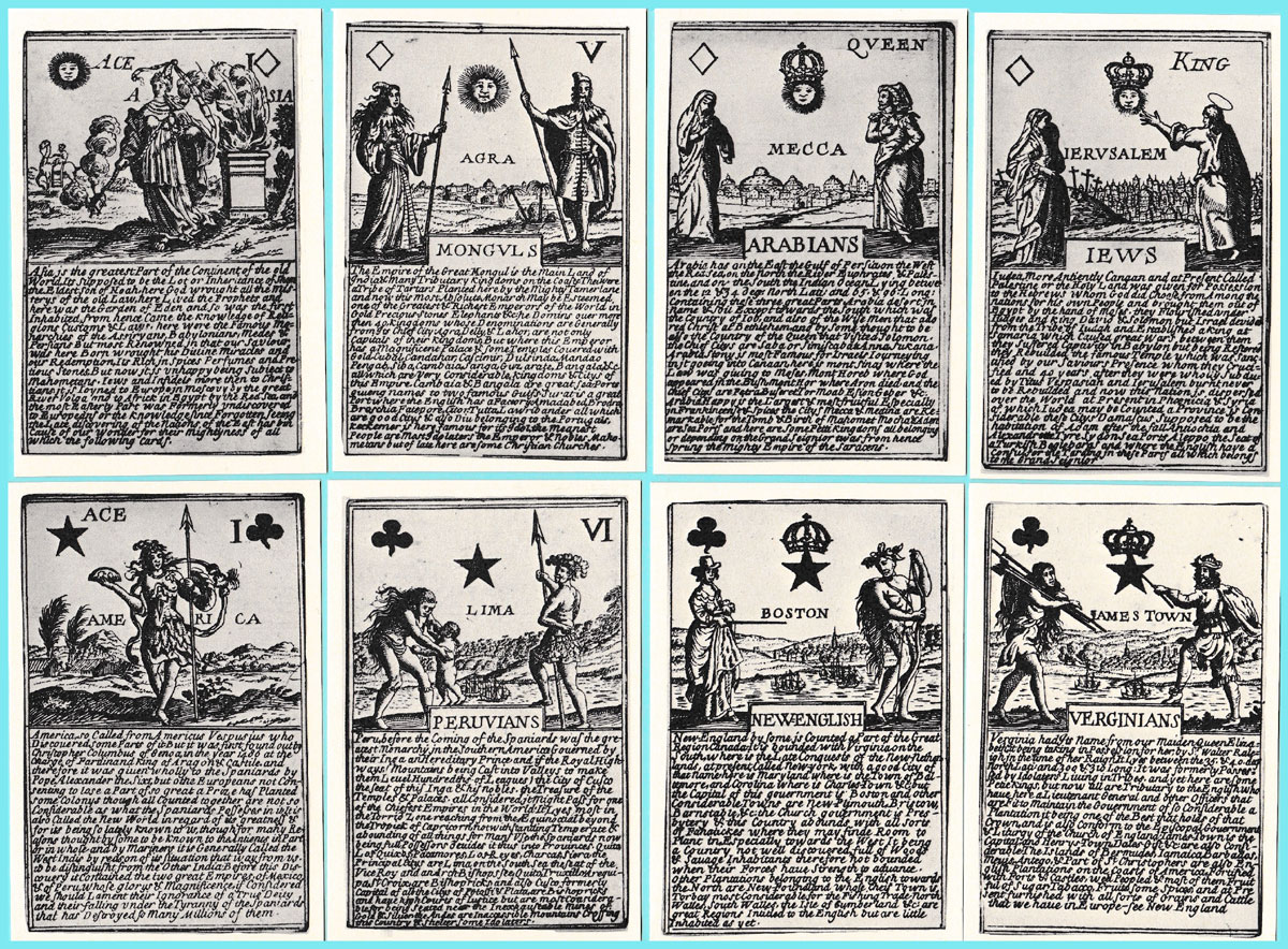
Above: facsimile edition of Winstanley’s Geographical cards produced by Harold & Virginia Wayland, USA, 1967.
Further References
WCMPC website: Winstanley Geographical cards►
Willshire, W. H.: A Descriptive Catalogue of Playing and Other Cards in the British Museum (English 179), Trustees of the British Museum, 1876, reprint 1975.
Eleven original cards can be viewed at the British Museum website: Museum number 2004,1130.55.1-11 • another incomplete pack can be viewed here►

By Peter Burnett
United Kingdom • Member since July 27, 2022
I graduated in Russian and East European Studies from Birmingham University in 1969. It was as an undergraduate in Moscow in 1968 that I stumbled upon my first 3 packs of “unusual” playing cards which fired my curiosity and thence my life-long interest. I began researching and collecting cards in the early 1970s, since when I’ve acquired over 3,330 packs of non-standard cards, mainly from North America, UK and Western Europe, and of course from Russia and the former communist countries.
Following my retirement from the Bodleian Library in Dec. 2007 I took up a new role as Head of Library Development at the International Network for the Availability of Scientific Publications (INASP) to support library development in low-income countries. This work necessitated regular training visits to many sub-Saharan African countries and also further afield, to Vietnam, Nepal and Bangladesh – all of which provided rich opportunities to further expand my playing card collection.
Since 2019 I’ve been working part-time in the Bodleian Library where I’ve been cataloguing the bequest of the late Donald Welsh, founder of the English Playing Card Society.

Activity for Winstanley Geographical cards
Sign in to comment or save this article.

Related Articles
Learning to play Cribbage
I learned to pay cribbage when I was very young, aged around six or seven.
Can You Believe Your Eyes?
“Can You Believe Your Eyes?” playing cards featuring visual illusions & other oddities.

Safety playing cards
Safety playing cards designed to reinforce the “Think and Be Safe” concept.
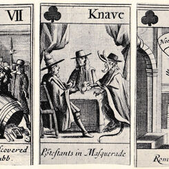
Meal Tub Plot
Meal Tub Plot playing cards [facsimile] with 17th century sketches by Francis Barlow.
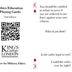
Ethics Education playing cards
Ethics Education playing cards produced by the Centre for Military Ethics at King’s College London, ...
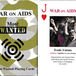
War on AIDS
War on AIDS playing cards published by ActionAid, United Kingdom, c. 2004.
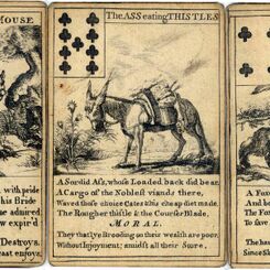
Aesop’s Fables
Aesop’s Fables playing cards by I. Kirk, c.1759.
Pantheon or Heathen Mythology
Pantheon or Heathen Mythology cards for instruction of youth, c.1770.
Skits
Skits, an instructive card game which sharpens the wits, c.1900.
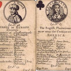
Geographical Playing Cards, c.1682
Geographical playing cards sold by Henry Brome, second edition, c.1682.
Counties of England 4th Series
Jaques' Counties of England card game, 4th Series (Southern Counties), c.1910.
Round the World
Round the World card game published by Pepys, 1961.
Apache Playing Cards
Apache Indian Playing Cards made on rawhide, first recorded 1875.
Origins Playing Cards
Rick Davidson's “Origins” playing cards is an inspired, present-day re-design of the standard Anglo-...
William Warter
William Warter's Proverbial Cards, which carry illustrations of old English proverbs, were first pub...
The Joker Card
The 'Joker' is believed to have been invented by American Euchre players who, when modifying the rul...
Robert Morden’s Playing Cards
The 52 Counties of England and Wales described as a pack of cards first published in London in 1676....

Marlborough’s Victories
Marlborough’s Victories playing cards, first published in 1707, depict Marlborough's campaigns and t...
Fortune-Telling Cards
These Fortune-Telling cards, first published as early as 1690, were possibly the first pack of cards...

Hand-made Spanish Suited Playing Cards
Decks are made on two-ply pasteboard which reproduces the tactile quality of antique cards.
Most Popular
Our top articles from the past 60 days


